Skip to content

Visualizing State-Building in the Americas

Discussion of visual sources for teaching pre-conquest American states

Bram Hubbell
Bram Hubbell
2 min read
Visualizing State-Building in the Americas
From page 43 of the AP World History Course and Exam Description

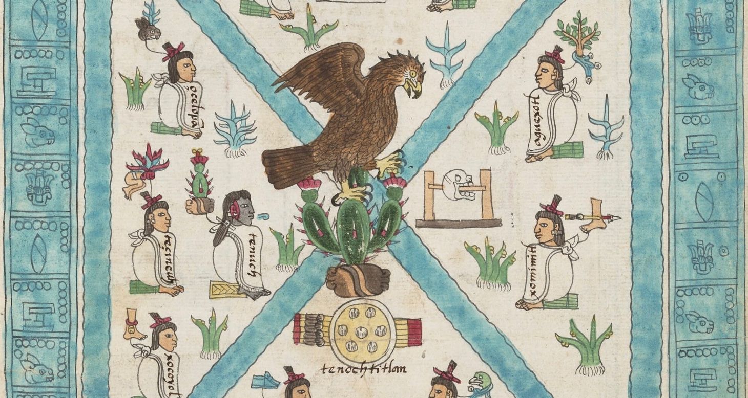
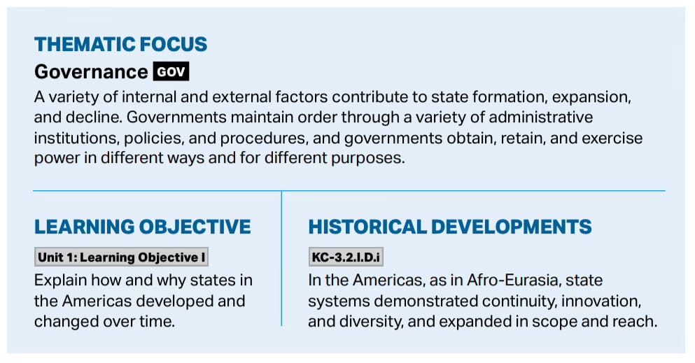
The required content in the AP World History curriculum for the Americas between 1200 and 1450 can be challenging. How does one quickly cover “continuity, innovation, and diversity” while showing how these states “expanded in scope and reach”? We can’t cover everything, but we can use a few visual sources to give a sense of the big picture in the Americas before the arrival of the Spanish.

The Sources


Related Posts

Members Public

“Pleased with the Gujarati pilot”: Muslim Knowledge Facilitating European Navigation

The Gujarati Pilot who helped Vasco da Gama reach India

“Pleased with the Gujarati pilot”: Muslim Knowledge Facilitating European Navigation
Members Public

The Spread of Crops in Afroeurasia Before 1450

How rice reached Spain

The Spread of Crops in Afroeurasia Before 1450
Members Public

“The Bridge Has Fallen into Ruin”: The Rise and Decline of Cities Before 1450

Teaching world history often means teaching about historic trading cities (entrepôts). While some cities flourished as trade centers over centuries, others experienced brief periods of rise and decline. Constantinople/Istanbul is a unique example of a city that has flourished for centuries, but also has gone through multiple phases of

“The Bridge Has Fallen into Ruin”: The Rise and Decline of Cities Before 1450